Join us at our next volunteer opportunity
In keeping with our mission…
To preserve, enhance, promote and maintain the Cape Horn Trail and related public lands within the Washougal to Stevenson corridor as a natural, educational, recreational, and economic asset to Skamania County and the surrounding community. Learn More
If you love the Cape Horn Trail and would like to support our cause, please consider making a donation.
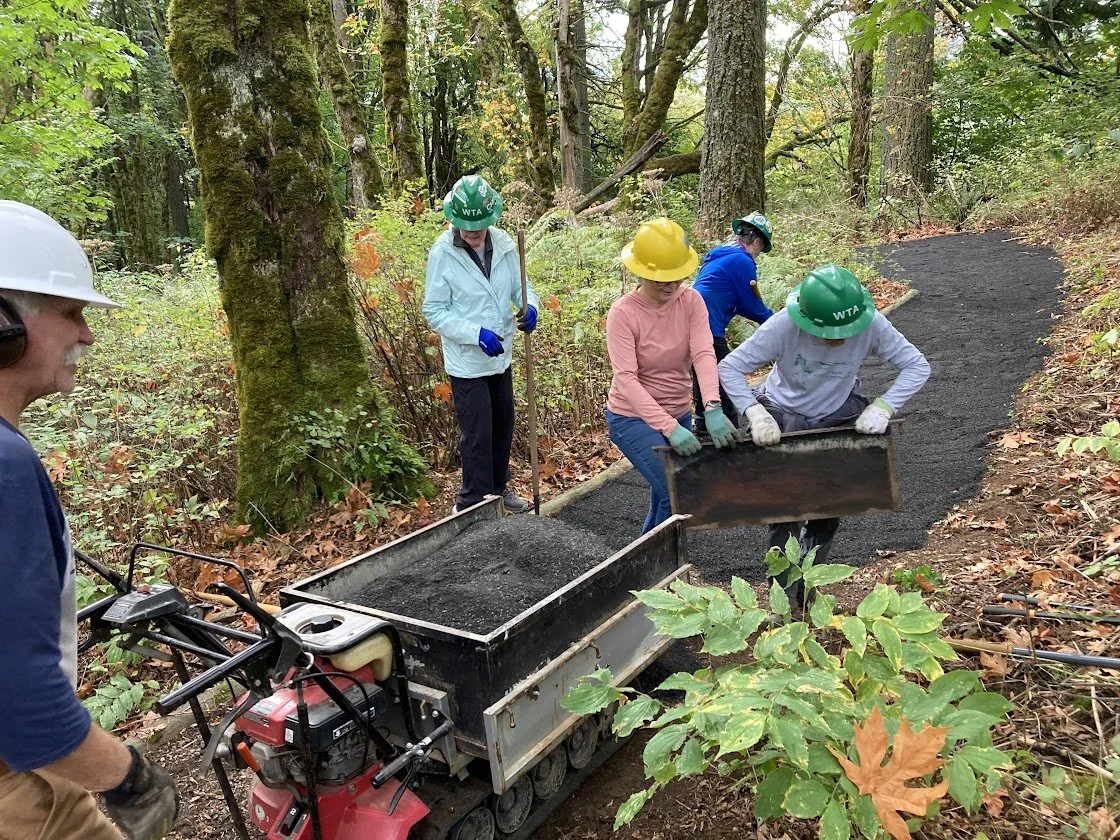
By volunteering you help ensure the trail has ongoing maintenance and care so that everyone can enjoy its beauty at all times of the year.
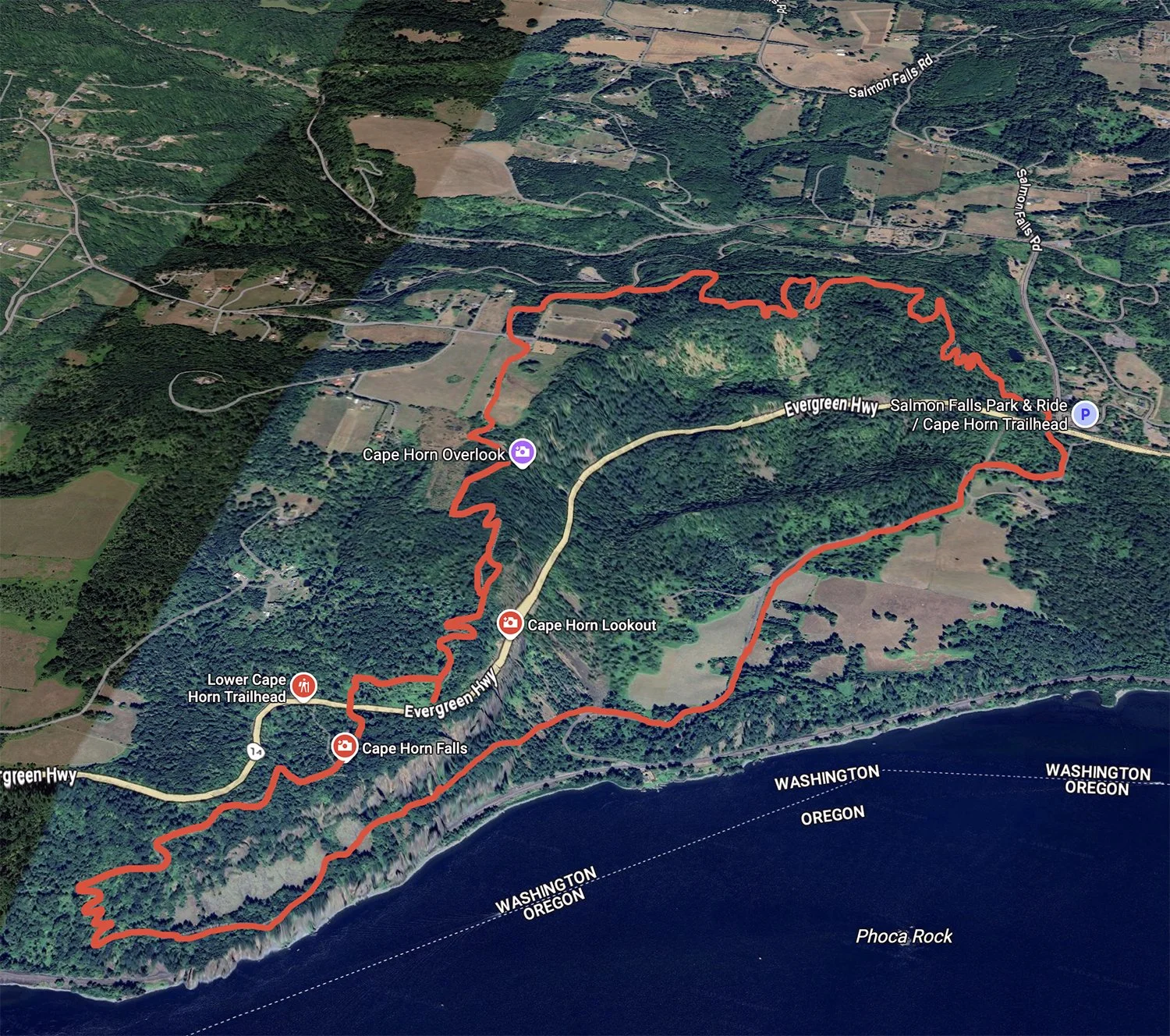
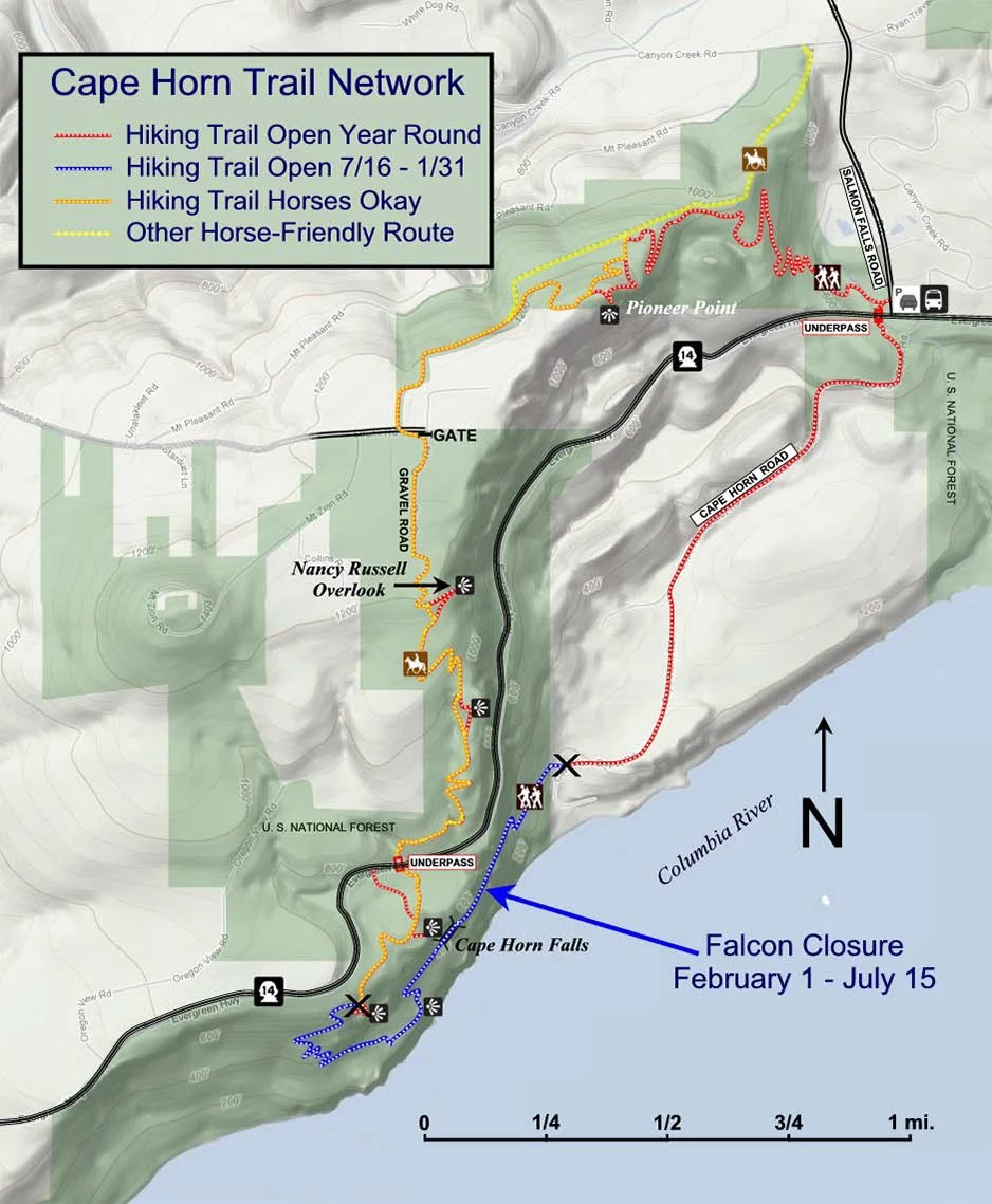
The full trail is a 7.2 mile loop with 1,300 feet of elevation change.
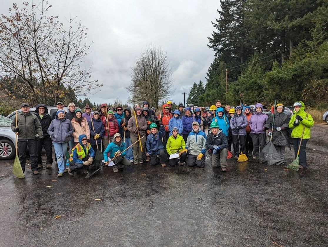
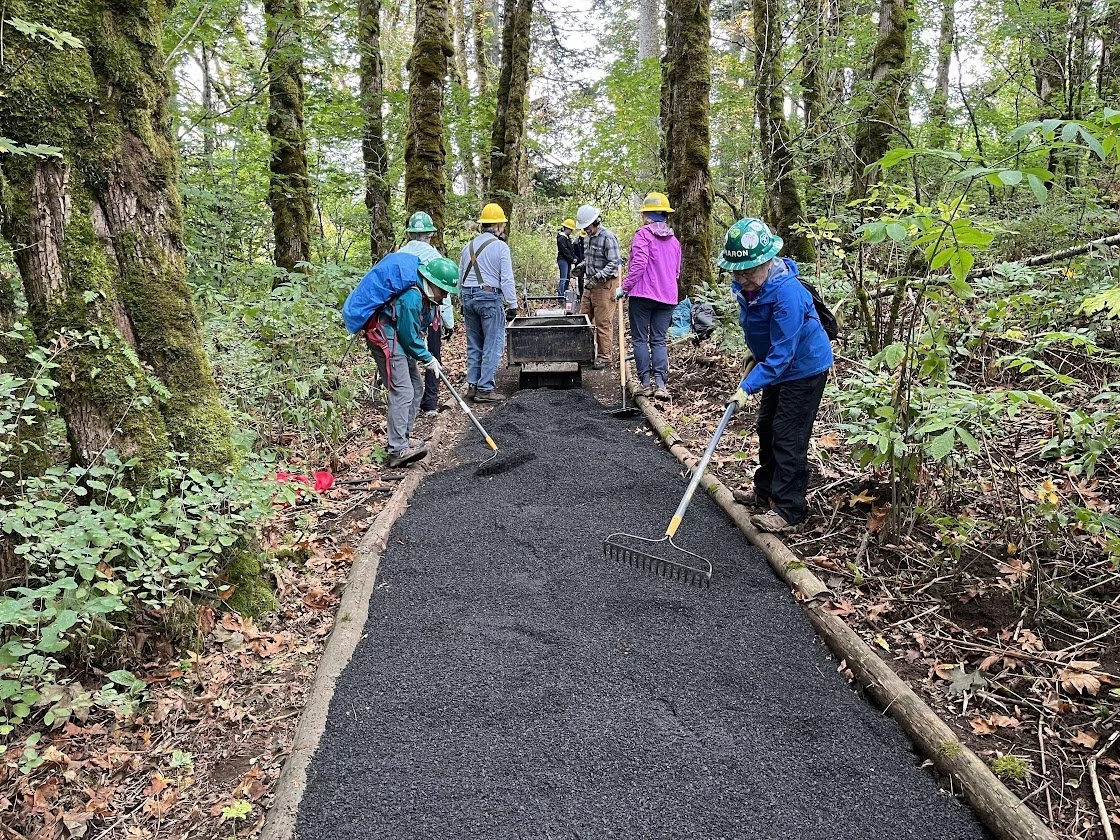
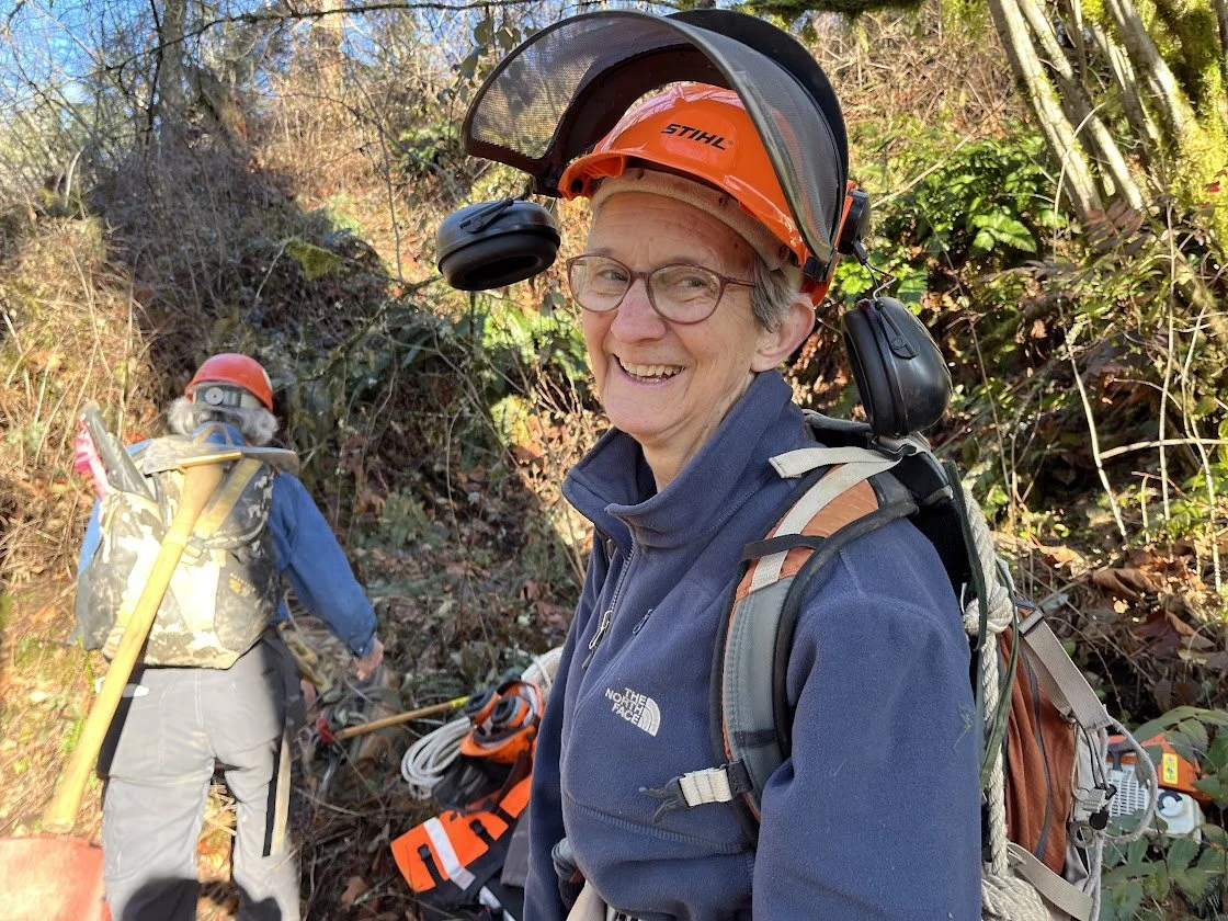
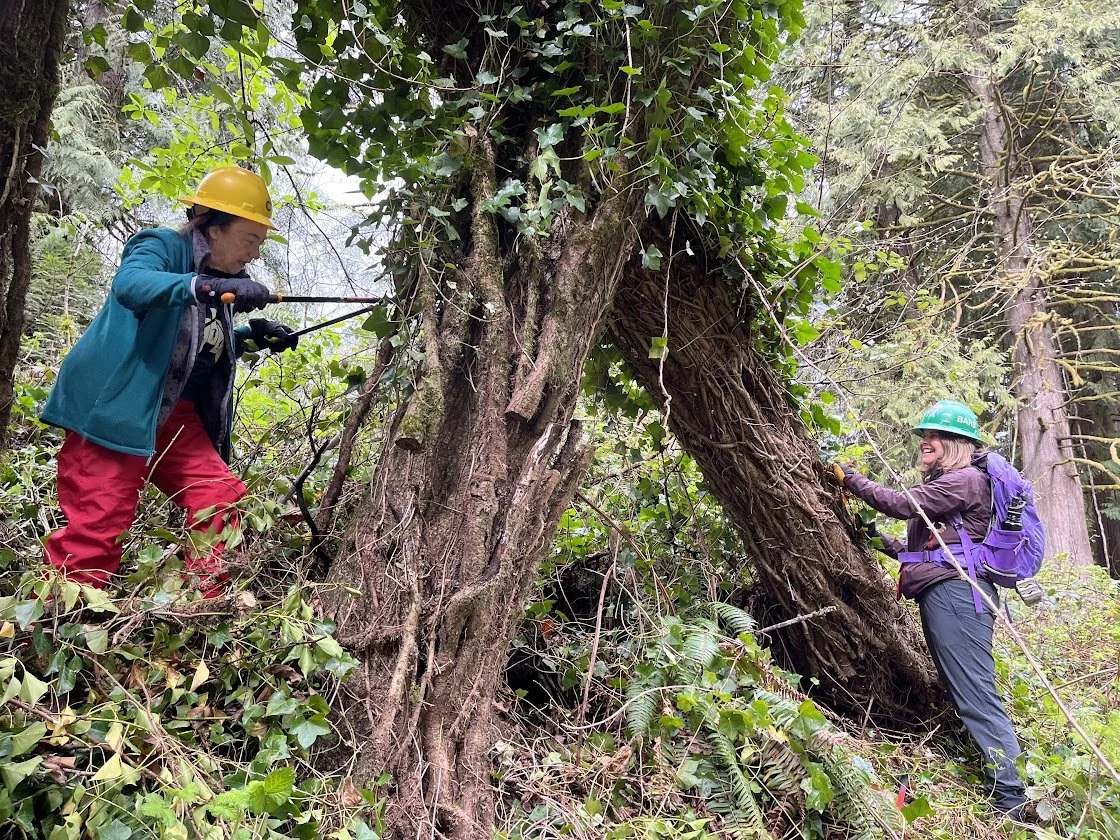
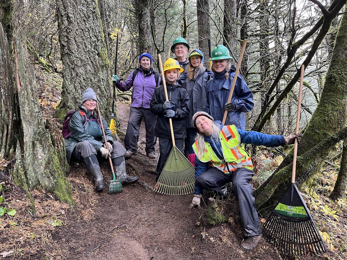
We have one or two trail maintenance events (aka "work parties") a month to keep the trail clear and safe and protect the surrounding environment.
"This exceptional collaboration, with the active, intelligent involvement of private individuals, multiple non-profits and government organizations demonstrates that it is still possible to achieve great and beautiful legacies for all to enjoy"
— Teresa Robbins
Cape HornTrail
Southwest Washington >
Columbia River Gorge - WA
LENGTH–––––––––7.2 mile loop
(from July16 to January 31*
ELEVATION GAIN–– 1,300 feet
HIGHEST POINT––– 1,350 feet
DIFFICULTY–––––– MODERATE
*Due to seasonal falcon nesting, trail closed February 1 to July 15 at 4 miles.
-
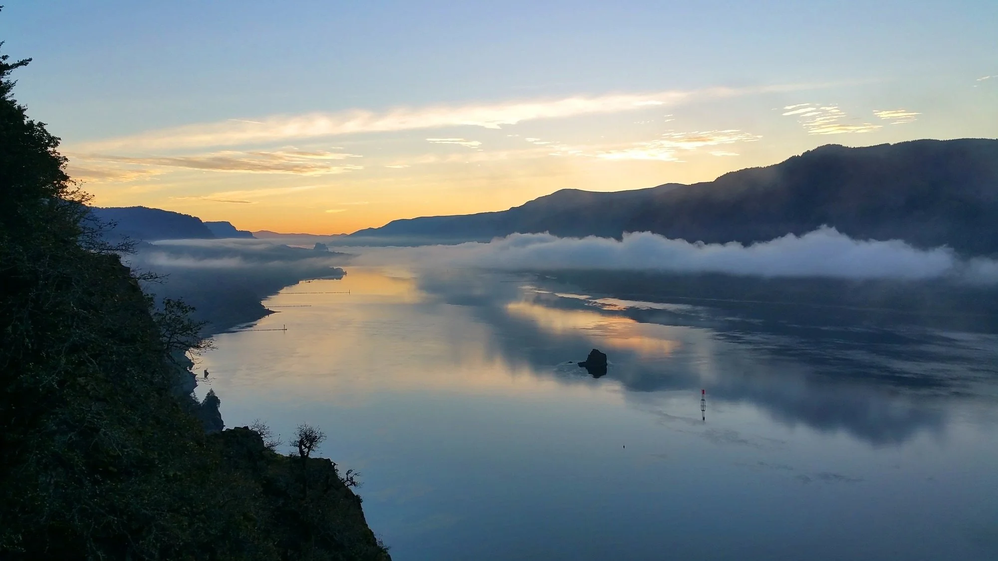
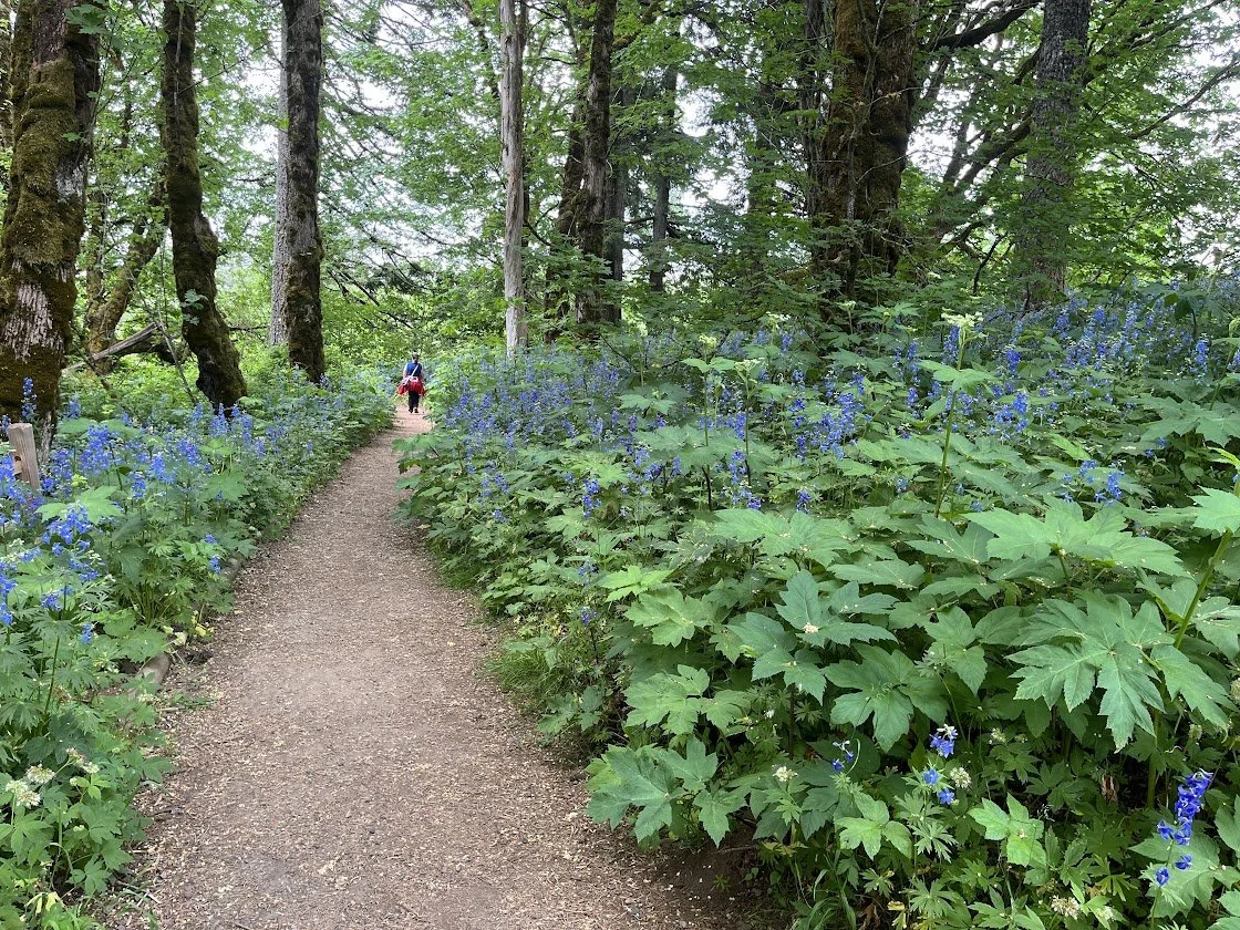
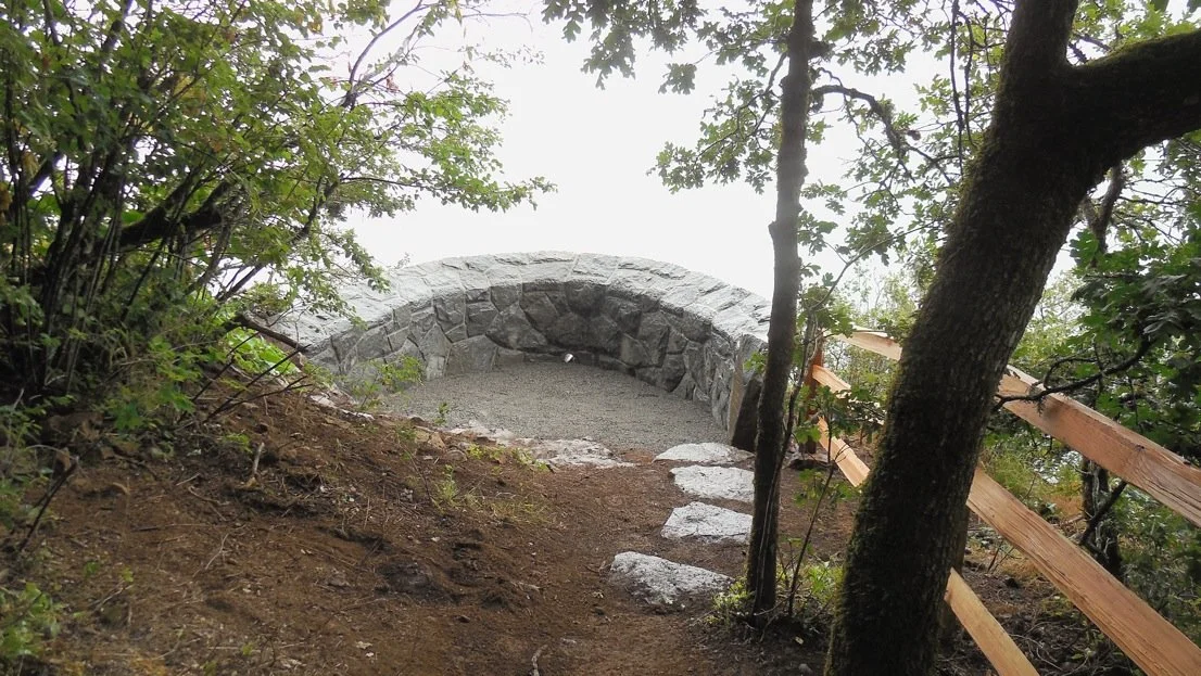
This rugged hike is bound to become a classic, if it isn’t already. The full trail loop provides fantastic views of the Columbia River Gorge, an intimate look at the Cape Horn Falls and a challenging workout as it climbs and descends the rocky slopes of Cape Horn.
-
The Cape Horn trailhead is located at the Skamania County Transit Park & Ride lot near milepost 26 along State Highway 14 at Salmon Falls Road.
From the west:
The trailhead is about 25 miles (30 minutes) from the PDX airport.
Take State Highway 14 east past Camas (milepost 12) and Washougal (milepost 16).
Two miles east of Washougal you enter the Columbia River Gorge National Scenic area.
Continue east into the Gorge.
Six miles east of the Gorge entrance pass the Cape Horn Viewpoint, where motorists get a glimpse of one of the views hikers enjoy on the trail.
A little more than a mile beyond the Cape Horn Viewpoint turn left onto Salmon Falls Road (just beyond milepost 26, about 20 miles from I-205) and then immediately turn right.
You’ll see the trailhead parking on your right.
From the east:
Take State Highway 14 west about eight miles past Beacon Rock State Park to the intersection with Salmon Falls Road.
Turn right onto Salmon Falls Road, immediately turn right again and you’ll see trailhead parking on your right.
NO PARKING PASS or ENTRY FEE needed.