Driving Directions:
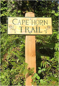
The Cape Horn trailhead is located at the Skamania County Transit Park & Ride lot near milepost 26 along State Highway 14 at Salmon Falls Road.
From the west:
The trailhead is about 25 miles (30 minutes) from the PDX airport.
Take State Highway 14 east past Camas (milepost 12) and Washougal (milepost 16).
Two miles east of Washougal you enter the Columbia River Gorge National Scenic area. Continue east into the Gorge.
Six miles east of the Gorge entrance pass the Cape Horn Viewpoint, where motorists get a glimpse of one of the views hikers enjoy on the trail.
A little more than a mile beyond the Cape Horn Viewpoint turn left onto Salmon Falls Road (just beyond milepost 26, about 20 miles from I-205) and then immediately turn right.
You’ll see the trailhead parking on your right.
From the east:
Take State Highway 14 west about eight miles past Beacon Rock State Park to the intersection with Salmon Falls Road.
Turn right onto Salmon Falls Road, immediately turn right again and you’ll see trailhead parking on your right.

