Come experience
the wonder and beauty
of Cape Horn
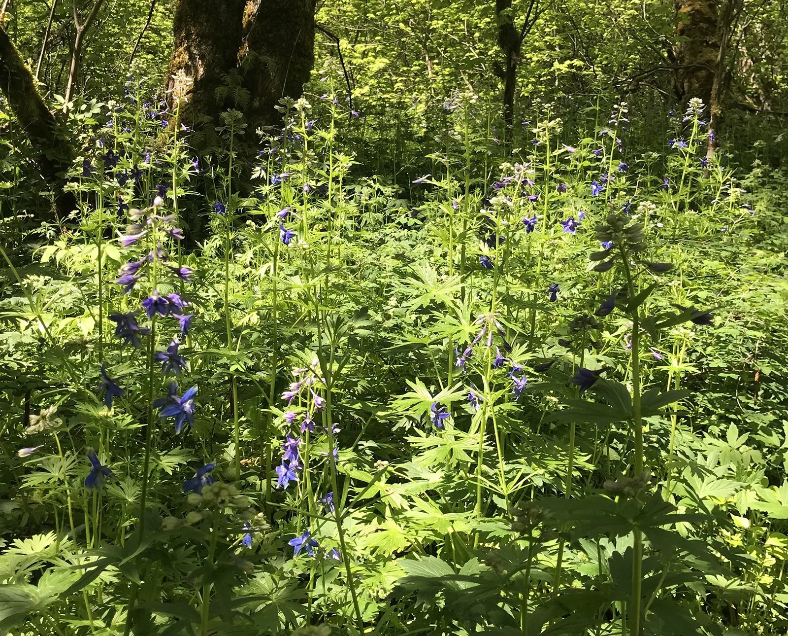
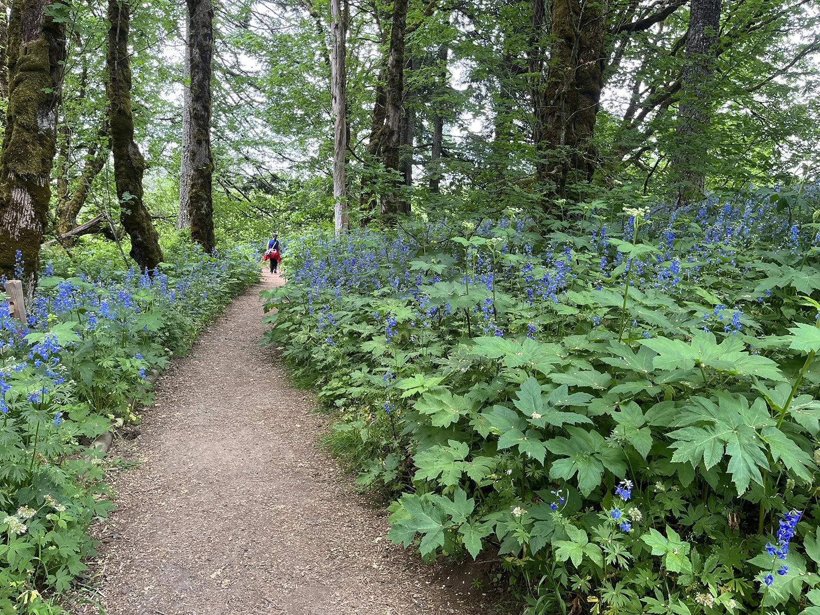
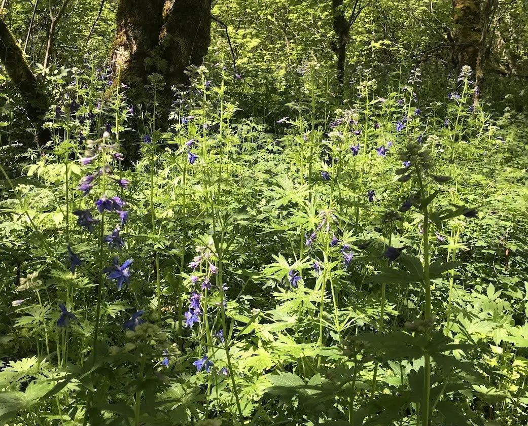
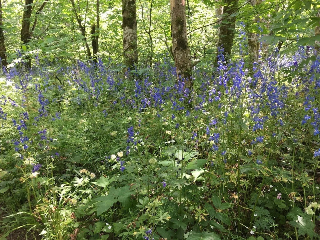
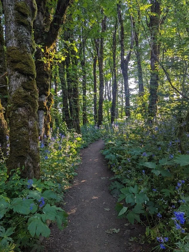
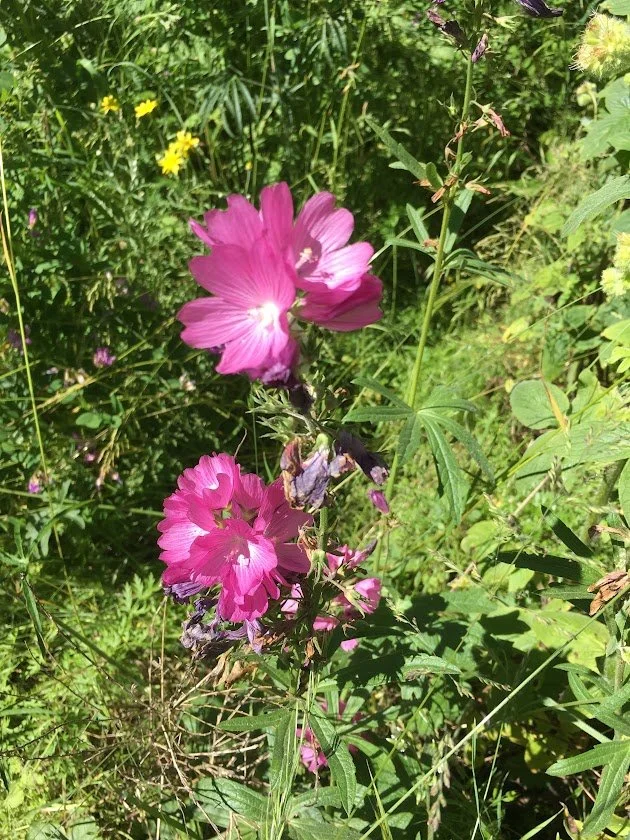
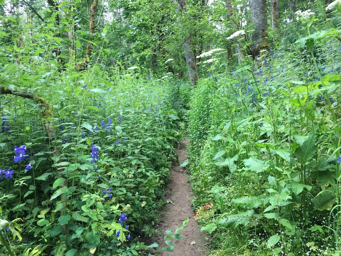
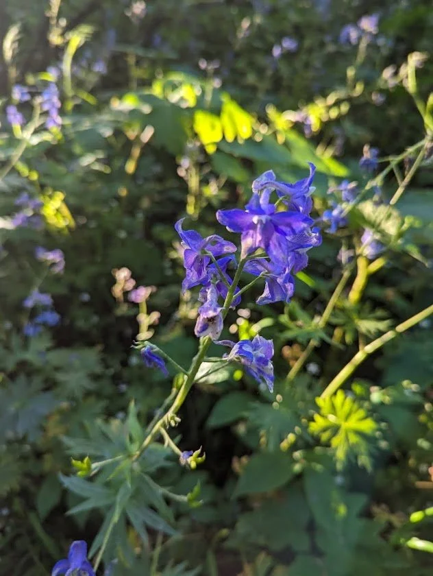
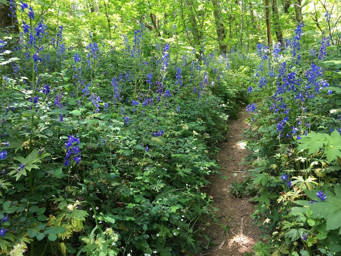
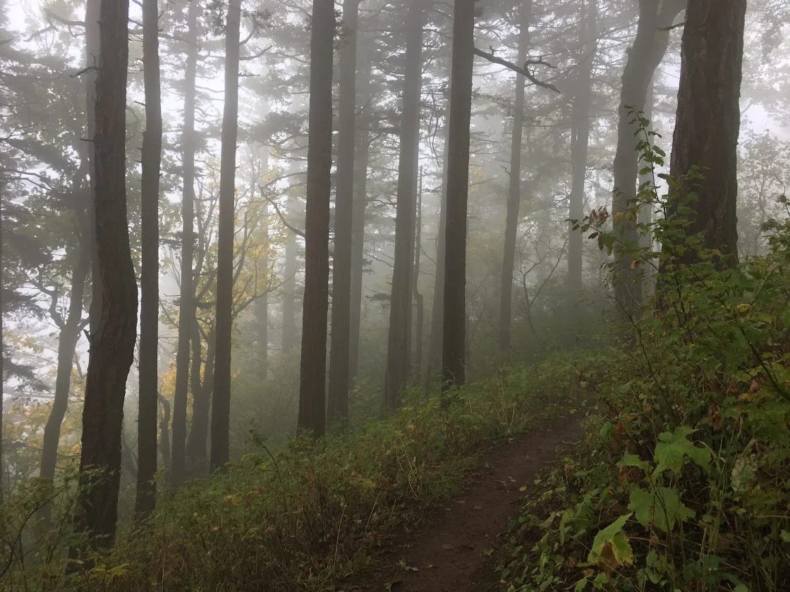
The Cape Horn Trail has so much to recommend it in any season—stunning wildflowers in the spring, panoramic views of the Columbia Gorge, tumbling waterfalls, and colorful autumn foliage. And all of this is within 45 minutes of Portland! Hiking poles are recommended for the steeper sections which can be slippery if they are wet. Be sure to keep small children and leashed dogs away from the edges of the cliff top viewpoints. Another option is to use the signed horse trail which is farther away from the cliffs.
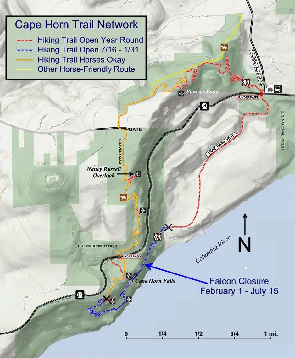
Note: From Feb 1-July 15 the lower section of the Cape Horn trail has a seasonal closure for nesting peregrine falcons. The closed section begins about 0.5 mile southwest of the west pedestrian underpass at Highway 14 and ends at the bottom of Cape Horn Road. During the closure hikers can still hike from the trailhead to the beginning of the closure and return via the same route.
To reach the trailhead, drive east on Washington Highway 14, passing through Camas and Washougal. Between mileposts 26 and 27 turn left on Salmon Falls Road. Immediately turn right onto Canyon Creek road and then right again into the Park and Ride and Cape Horn trailhead parking. No passes are required to park at the trailhead, but the lot can fill quickly especially on weekends. On weekends from the beginning of May to mid-October, Gorge WET (West End Transit) runs a bus between Fisher’s Landing Transit Center (Vancouver), Stevenson and Carson that stops at the Cape Horn trailhead four times a day.
The clearly signed trail begins on the west side of Salmon Falls Road, opposite the Park and Ride lot. Take the first fork to the right (the upper trail) near the start of the trail. Cross a small creek on the Twain Bridge and begin the steepest climb of the entire loop under a canopy of big leaf maples, sword ferns and vine maples. You will reach the first overlook at the 1.2-mile mark after climbing about 800 feet. The view from here to the east includes Hamilton Mountain, Beacon Rock and Multnomah Falls. In another .1 mile bear left on a short spur trail to Pioneer Point (with the Tipping Tree) with views to the south that include Angel’s Rest and Devil’s Rest.
Return to the main trail which now crosses a wide, wooded summit. The trail gradually descends and intersects an abandoned forest road. Bear left at this intersection. After 0.6 mile you will reach paved Strunk Road. Cross the road and follow a footpath left until you reach a wide gravel path. After 0.2 mile turn left at a signed intersection on a trail to the Nancy Russell Overlook. The overlook is a wonderful lunch spot with stone seating and spectacular gorge views.
If you want to continue on the loop, follow the trail markers and descend 1.2 miles via a series of switchbacks, crossing a creek over the new Bootlegger Bridge, to a pedestrian underpass beneath Highway 14. Continue to follow the trail, taking short spurs to two lovely stone overlooks with expansive views. The first is Cape Horn Waterfall Overlook, the second Oak View Overlook. (If the peregrine falcon closure is in effect, the trail will be closed just beyond Oak View Overlook.)
Assuming the route is open, continue west and switchback downhill. The trail now veers east with occasional river views and a stunning view of Cigar Rock, a pillar of basalt rising above the river. The trail climbs and falls in roller coaster fashion through two moss-covered talus slopes, eventually arriving at a bridge in front of Cape Horn Falls. Sections of this part of the trail are narrow, steep and rocky so exercise caution. Hiking poles will be handy.
Continue to the east. The trail pops out of the woods at paved Cape Horn Road. Walk 1.3 miles gradually uphill, enjoying expansive views of cliffs and pastoral fields with goats and cows. Turn left at the trail sign. Use the new pedestrian underpass under Highway 14 to avoid crossing the busy road.
History
The top of Cape Horn was originally planned as a subdivision in the 1980s. As the Columbia River Gorge National Scenic Area was not in place, there was no legal way to stop the development. So in 1983, Friends of the Columbia Gorge co-founder, Nancy Russell and her husband Bruce Russell took out a loan and made a no-interest loan to the Trust for Public Land (TPL), enabling TPL to buy 12 of the 16 lots, effectively stopping the subdivision. The U.S. Forest Service later bought the land from TPL. The Columbia Land Trust purchased two properties in 2001, and with a 2004 U.S. Forest Service purchase, a loop was created by trail enthusiasts, making the area accessible to the public.
In 2006, Friends of the Columbia Gorge Land Trust purchased the subdivision's one developed lot, the Cleveland property, and two years later deconstructed the 5,500 square-foot home and 6,000 square-foot barn. Friends of the Columbia Gorge Land Trust also secured an option to purchase the other privately held rim-view property. Friends' Campaign for Cape Horn raised over $4 million to secure the properties and provide a public overlook in 2011 that honors Nancy Russell.
Because of Nancy's vision, all of us can enjoy this beautiful trail with its stunning viewpoints. Her endless energy and persistence, along with support from other dedicated people, led to the designation of the Columbia River Gorge National Scenic Area in 1986.
Thanks to the dedicated stewards of the Cape Horn Conservancy, the Cape Horn Trail is a jewel within the national treasure that is the Columbia River Gorge. Thank you, thank you, thank you for so many amazing hiking experiences!
— Bernadette
Additional Helpful Information